Keep it Clean. Please avoid obscene, vulgar, lewd,
racist or sexually-oriented language. PLEASE TURN OFF YOUR CAPS LOCK. Don't Threaten. Threats of harming another
person will not be tolerated. Be Truthful. Don't knowingly lie about anyone
or anything. Be Nice. No racism, sexism or any sort of -ism
that is degrading to another person. Be Proactive. Use the 'Report' link on
each comment to let us know of abusive posts. Share with Us.
...A STRONG THUNDERSTORM WILL IMPACT NORTHWESTERN LEE...SOUTHEASTERN
TALLAPOOSA AND SOUTHWESTERN CHAMBERS COUNTIES THROUGH 230 PM CDT...
At 203 PM CDT, Doppler radar was tracking a strong thunderstorm over
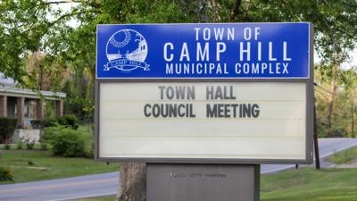
Waverly, or near Camp Hill, moving south at 10 mph.
HAZARD...Wind gusts up to 40 mph.
SOURCE...Radar indicated.
IMPACT...Gusty winds could knock down tree limbs and blow around
unsecured objects.
Locations impacted include...
Auburn, Camp Hill, Notasulga, Waverly, Auburn University, Loachapoka,
and Roxana.
PRECAUTIONARY/PREPAREDNESS ACTIONS...
If outdoors, consider seeking shelter inside a building.
&&
MAX HAIL SIZE...0.00 IN;
MAX WIND GUST...40 MPH
Now, more than ever, the world needs trustworthy reporting—but good journalism isn’t free.
Please support our tireless efforts to gather and report your local news by subscribing or making a contribution.
Stay informed with our Free Newsletters
Success! An email has been sent to with a link to confirm list signup.
Error! There was an error processing your request.


(0) comments
Welcome to the discussion.
Log In
Keep it Clean. Please avoid obscene, vulgar, lewd, racist or sexually-oriented language.
PLEASE TURN OFF YOUR CAPS LOCK.
Don't Threaten. Threats of harming another person will not be tolerated.
Be Truthful. Don't knowingly lie about anyone or anything.
Be Nice. No racism, sexism or any sort of -ism that is degrading to another person.
Be Proactive. Use the 'Report' link on each comment to let us know of abusive posts.
Share with Us.